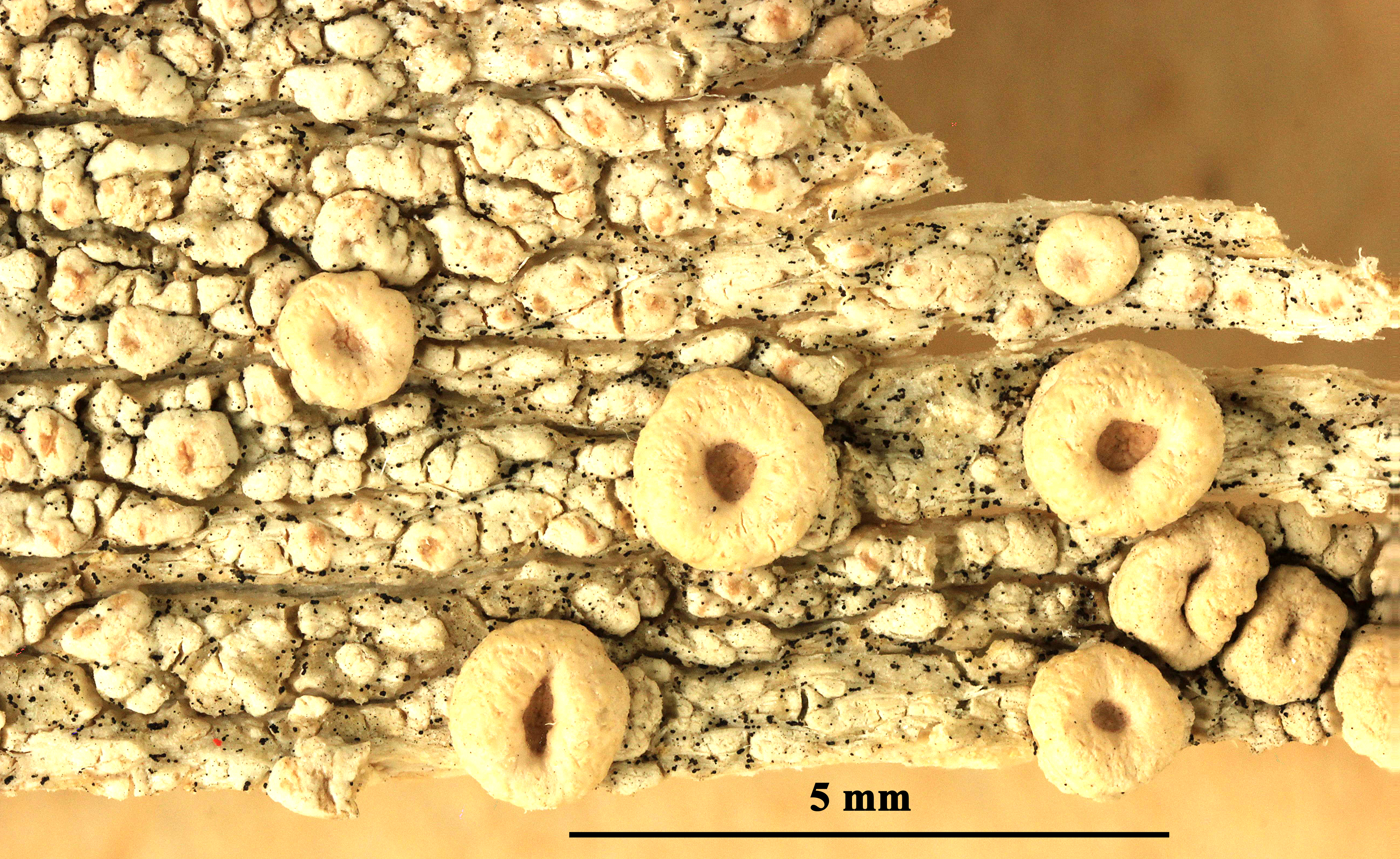
Washington, Cowlitz County, Toutle River, NE of Castle Rock Date: 2011-04-02 On Alnus rubra trunk on mud flow material from Mt. St. Helens 1980 eruption
Felix Schumm - CC BY 4.0
[2608], British Columbia, Queen Charlotte Islands, Langara Island: Off
the NW corner of Graham Island. Henslung Harbour. (Dadens) 54°12'
N, 133°00' W. Along the wharf and beach including the conglomerate
rocks. On wood. Leg. Irwin M. Brodo (No. 10582) & M. J. Shchpanek
& W. B. Schofield, 28.06.1967 (Nr. 10582), det. I. Brodo. Ex National
Herbarium of Canada (CANL).
Felix Schumm - CC BY 4.0
[2609], British Columbia, Queen Charlotte Islands, on dead branch in
shaded forest on mainland. Moresby Island: Davey Islet, 1/2 mile SW
of Aero in Gillatt Arm of Cumshewa Inlet and adjacent mainland.
53°03' N, 131°59' W. Rocky headland and spruce-alder forest.Leg. rwin
M. Brodo & Pak Yau Wong, 27.06.1971 (nr. 17245), det. I. Brodo.
ExNational Herbarium of Canada (CANL)
Felix Schumm - CC BY 4.0
[16710]. USA, Washington, Lewis County, Randle, along trail near
bridge crossing over Oliver Creek. Hardwood stand of Alnus rubra and
Populus balsamifera ssp. trichocarpa with understory of forbs and
grasses. On Alnus rubra bole. 46°32.784' N, -121°59.680' , 1560 ft.
Leg. Jim Riley, 23.10.2001, det. Jim Riley 23.10.2001